Kentucky Wind Directions and Magnitudes: A Tool for Siting Barns
Kentucky Wind Directions and Magnitudes: A Tool for Siting Barns
Abstract
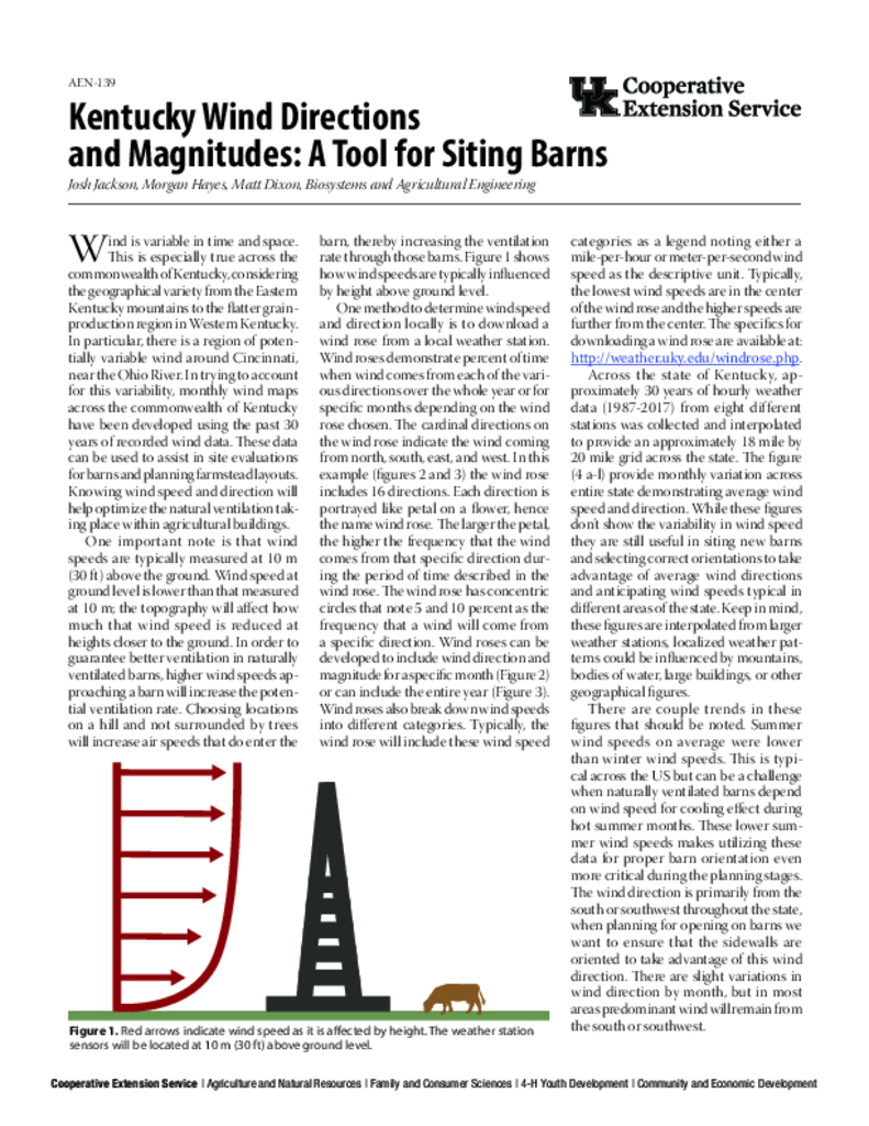
Wind is variable in time and space. This is especially true across the state of Kentucky, considering the geographical variety from the Eastern Kentucky mountains to the flatter grain production region in Western Kentucky. In particular, there is a region of potentially variable wind around Cincinnati, near the Ohio River. In trying to account for this variability, monthly wind maps across the state of Kentucky have been developed using the past 30 years of recorded wind data. These data can be used to assist in site evaluations for barns and planning farmstead layouts. Knowing wind speed and direction will help optimize the natural ventilation taking place within agricultural buildings.
Core Details
Publication Date
May 13, 2019
Categorical Details
© 2025 University of Kentucky, Martin-Gatton College of Agriculture, Food and Environment

